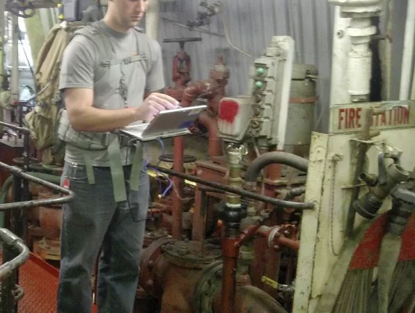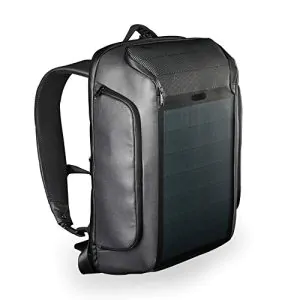
GPS is getting better and better for everyday use, but we all know that it isn’t perfect yet. There are a still many places where GPS isn’t available, especially when it comes to underground installations and under water locations. This is where the new backpack mounted system, Enhanced Mapping and Positioning System, or EMAPS, steps in.
It’s a team of scientists at the John Hopkins University who are behind the idea, and currently it is being developed for the Defense Threat Reduction Agency.
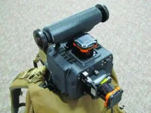
The actual hardware of the device is a cube, measuring 6 inches on each side and weighing not even four pounds. It incorporates a 270-degree laser scanner that is capable of scanning the users surroundings and finding out how far objects are from the users position. A second laser is also used in order to give results in 3D. Besides the laser scanners that the device uses, a camera can be used to capture the surroundings of the user of the device, and other sensors can be attached to the device to register and locate things such as toxic chemicals and/or waste.
Currently, EMAPS has over 100 hours of data, all of which is for locations that GPS doesn’t work in, and new data continues to be added to the device.
